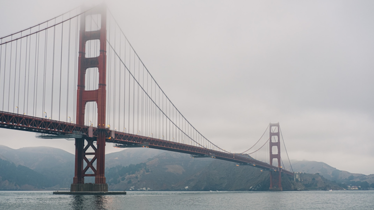
San Francisco residents must hold onto their umbrellas and jackets as a weak cold front sweeps through the Bay Area today, bringing potential light rain showers and drizzle. According to the National Weather Service, precipitation is expected to be "on the light side and generally under 0.05 inches." Select spots along the coastal terrain might see more smidge, up to 0.15 inches.
What's more, the National Weather Service San Francisco CA forecasts that later this afternoon, the city could see breezy northwest winds picking up. These could send unattended newspapers flying, and may be strong enough to "bring a few tree branches down." The temperatures are to hover in the lower to mid 60s throughout the day, but beach-goers should brace for cooler conditions, unlikely to climb out of the upper 50s.
The unsettled weather won't dampen spirits for long as the NWS Bay Area hints at a slow warmup as we head into next week. San Francisco Bay Area residents can look forward to "increasing sunshine" per the NWS Area Forecast Discussion that will likely nudge temperatures upward from Saturday to Tuesday.
Good morning! Look for a little bit of light rain or drizzle today with little to no accumulation. Breezy winds pick up this afternoon and persist into the weekend with cool temperatures. Slow warmup by later next week. #cawx pic.twitter.com/G2JWqBeadQ
— NWS Bay Area 🌉 (@NWSBayArea) April 26, 2024
Moving into the weekend, marine conditions are forecasted to be choppy, with the National Weather Service's Marine section warning of gale-force gusts along the Big Sur coast. Mariners should prep for "strengthening northwest winds today and tonight" with a moderate northwest swell pulsating through the waters. By next week, they expect a new, longer period northwest swell, keeping things interesting for those at sea. But it's not just about the gusts – low clouds teamed up with some light rain or drizzle today should keep mariners on their toes.


