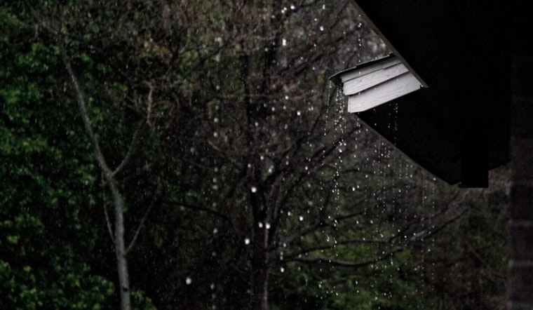
Monday's outlook seems to grimly guarantee to make a soggy start to the workweek. The forecast predicts a 90% chance of precipitation with showers and potential thunderstorms after 1 pm. Some storms could produce small hail and gusty winds, threatening to disrupt the usual flow of outdoor activities. Temperatures are anticipated to peak near 53, while the southwest wind will gently blow around 7 mph, according to the National Weather Service.
The tempestuous weather is not bound to let up come Monday night. NWS Seattle warns of a persistent 70% chance of showers and thunderstorms, which may again bring small hail and gusty winds. The mercury is expected to dip to around 41 degrees as the wind shifts from west-southwest at 5 to 8 mph to south in the evening, as per the National Weather Service. Precipitation could add up to less than a tenth of an inch, though thunderstorms might result in higher totals.
For those looking to catch a break from the deluge, Tuesday might offer a glimmer of respite with a 50 percent chance of showers. The day starts cloudy but is forecasted to gradually become mostly sunny with highs nudging near 54. Breezes are to ease lightly, betraying the prior tumult as the south wind is set to shift north-northwest in the afternoon. Come nightfall, partly cloudy skies will hang over a quieter Seattle with lows hovering around 41 degrees and a north-northwest wind shifting southsoutheast post-midnight.
Midweek forecasts suggest a brief spell of partly sunny skies on Wednesday with highs inching toward 58. But don't stow away the rain gear just yet; the latter part of the week sees a 40 percent chance of showers Wednesday night, with more rain chances persisting into the weekend. High temperatures are expected to tease the mid-60s by Friday, as reported by the NWS Seattle.


