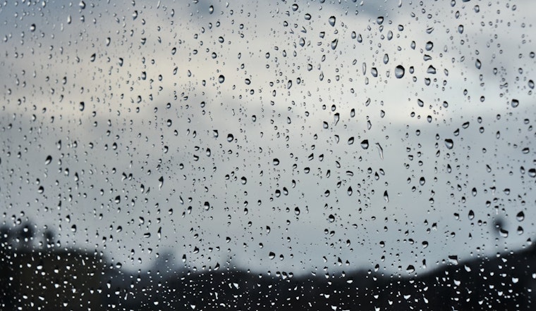
Washington D.C. residents should brace for a wet week, with the National Weather Service forecasting a high chance of precipitation and showers likely after 2 PM today. Temperatures are set to hit a high near 69 degrees, while the Southeast wind is predicted to pick up at a leisurely 5 to 7 mph. The National Weather Service warns of potential new rainfall amounts between a tenth and a quarter of an inch.
Tonight the forecast offers a 40% chance of showers, mainly before 1 AM, coupled with patchy fog before dawn. The overcast evening will see the thermometer hover around a low of 64 degrees. Wet and possibly thundery conditions will continue into the start of the new week, with Monday and Tuesday bringing sporadic showers and the possibility of thunderstorms, especially in the afternoons and evenings.
Residents should keep their umbrellas close, as Wednesday will not provide much respite, with an anticipated surge in temperature to a high near 88 degrees, and a 30% chance of afternoon showers. According to the outlook, thunderstorms are also possible after 8 PM that night.
As forecasted, the weather will take a turn for the more tumultuous on Thursday, with an 80% chance of showers and thunderstorms brewing after 2 PM. The storms may persist into the evening before tapering off, though the risk of intermittent showers and thunderstorms between 8 PM and 2 AM is anticipated.
In what seems to be a a relentless streak of dreary days, Friday also presents a 50% likelihood of showers under mostly sunny skies, while the night follows with a 40% chance of showers and thunderstorms. All eyes are on the coming weekend, with Saturday still under the cloud of a 40% chance of showers in mostly sunny conditions.
In addition to the wet weather, coastal regions are on alert. "Moderate tidal flooding is possible along the shoreline of Anne Arundel County during the high tide cycle late tonight," warns an advisory from the National Weather Service. The coastal flood advisory stresses up to one foot of inundation above ground level in low-lying areas could persist, particularly around high tide times.
The consistent downpours and potential flooding serve as a reminder for Washingtonians to prepare accordingly. Flood-prone property owners should take necessary actions to protect their assets. For safe travel, commuters are advised to account for potential road closures and to not bypass barricades or venture into water of unknown depths.


