It's time for Californians to brace for impact as a severe Pacific storm is on track to slam into the region this weekend, bringing a cocktail of wild weather conditions from cooler temperatures to thunderstorms. According to the National Weather Service San Diego, CA, the coast and valleys will see a significant dip in highs, dropping to the upper 50s to mid 60s—a few degrees cooler than Thursday, while the mountains and desert areas can expect temperatures to tumble an additional 10 degrees.
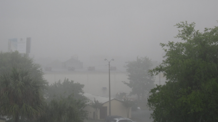
Winds are also expected to pick up the pace, with "periods of gusty southwest to west winds for the mountains and deserts, strongest for this afternoon and evening with the stronger gusts along the desert slopes of the mountains to 45 to 55 mph," as noted by the National Weather Service. Weekend precipitation will be no slouch either, evolving from lighter rain and snow today into a heavy downpour on Saturday, which could lead to localized heavy flooding.
For those living at higher elevations, it's time to haul out the winter gear as snow is expected in full force. Elevations from 5,500 to 6,000 feet could see the snow levels start off before descending to 4,500 feet during the peak of the storm. The San Bernardino County mountains could see up to four feet of snow on the highest peaks above 8,500 feet. And it's not just snow; the risk of thunderstorms is also on the horizon for Saturday into Sunday. "There will be a period of strong gusty south winds ahead of the cold front on Saturday morning with the stronger gusts near the coast to around 40 mph," according to the National Weather Service's Area Forecast Discussion.
The impending weather chaos has prompted the issue of multiple advisories, including a Flood Watch for large swathes of the region, and Wind and Winter Storm Watches across various counties. As for the seas, a Small Craft Advisory is in effect from late tonight until Saturday afternoon for coastal waters, adding to the weekend's hazardous conditions. And for beachgoers, the outlook is grim with "West southwest swells of 5-7 ft at 9-13 seconds could bring surf of 7-9 feet at times Saturday evening into Sunday afternoon," making for unsafe swimming conditions.
The forecast isn't all doom and gloom though, as conditions are expected to improve early next week. Tuesday and Wednesday are slated to bring drier and warmer weather, with temperatures rising approximately 5 degrees above average on Wednesday. But don't get too comfortable, the weather roller coaster is set to dive again with another plunge in temperatures and additional chances of rain by the end of next week.


